
The Problem: Jitter, Drift, and the Site’s Raw Texture
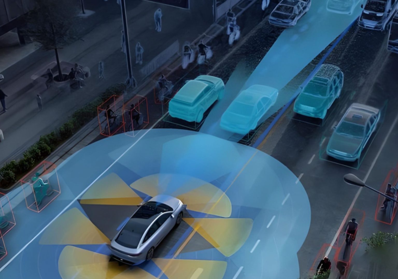
The hum of diesel, the clatter of rebar, and the dust that tastes like metal—construction sites are sensory overload, and they punish small errors in navigation. Intelligent construction digital platforms that manage autonomous fleets must wrestle with unstable kinematics, noisy sensors, and intermittent satellite reception; the result is degraded path tracking and costly rework. Modern solutions in autonomous navigation promise smoother trajectories, but the core issue remains: how do you balance platform mechanics, sensors, and software so a machine follows its planned path within centimeters?
Why Balance Matters: When Kinematics Meets Concrete
Balance here is literal and algorithmic. Uneven weight distribution or a loose actuator changes the dynamics—kinematics—of a crawler so its planned velocity profile no longer matches reality. Meanwhile, GNSS signals scatter off steel beams, LiDAR returns bounce oddly in dust, and IMU drift accumulates during long runs. Sensor fusion and SLAM can patch these gaps, yet each method assumes a degree of mechanical predictability. In dense urban projects—think Manhattan-style canyons—multipath errors make pure GNSS solutions unreliable, which is why RTK-assisted receivers are often specified to reclaim centimeter-level localization.
Practical Fixes: Calibration, Fusion, and Mapping
Start with the hardware: tighten mounts, level the center of mass, and document actuator backlash. Then tune the software stack: calibrate IMU biases, align LiDAR frames to camera rigging, and verify timestamp synchronization so sensor fusion doesn’t smear readings. Combine map-based localization with RTK corrections from a gnss device to reduce long-term drift. Implement adaptive filters that weight GNSS less in high-multipath zones and lean on odometry or vision when satellites falter—this graceful handoff keeps path tracking crisp without oscillation.
Implementation Roadmap: Tests, Metrics, and Common Pitfalls
Measure before you change. Run baseline path-tracking trials on representative stretches: loose gravel, compacted soil, and near scaffolding. Track lateral error, control latency, and repeatability across cycles. Avoid overfitting to a single test run—balance tuning that works in dry conditions may fail in mud. Common mistakes include neglecting thermal drift in IMUs and assuming LiDAR will always yield clean returns—those sensors cloak themselves in noise at night. Also, establish failover behaviors: if RTK corrections vanish, reduce speed and widen path tolerance—safer than insisting on a narrow line.
Integration Patterns That Work
Practical systems use layered localization. A fast loop handles IMU and wheel odometry for immediate stability; a medium loop ingests LiDAR or vision for mid-range corrections; a slow loop reconciles map matching and RTK offsets to correct cumulative drift. This staged approach keeps control responsive while allowing higher-latency systems to nudge the trajectory back to the plan. Real-world projects often combine geofencing with task-level planners so equipment remains productive even when precise centimeter tracking is temporarily compromised.
Three Golden Rules for Selecting Tools and Strategies
1) Accuracy under load: Verify performance while machinery carries its typical payload—kinematics change with mass. 2) Resilience metrics: Prioritize solutions that maintain acceptable lateral error, latency under 150 ms, and recovery time after a GNSS outage. 3) Maintainability and data access: Choose platforms that expose sensor logs and permit field recalibration without specialist equipment.
Closing Advisory and Brand Fit
Implement these evaluation metrics, and you can judge tools by measurable gains: tighter path tracking, fewer intervention events, and predictable recovery when signals fail. For teams aligning mechanical balance with advanced localization and sensor fusion, the practical value becomes clear in reduced rework and steadier schedules—Archimedes Innovation brings that kind of pragmatic integration into projects where every centimeter and every hour matters.
—steady hands.